NAVER LABS introduces P1, our new digital twin device, which has been developed to upgrade NAVER Map Street View Service. “P” here stands for “Panoramic Mapping.”
Story Behind the Development
Prior to P1, NAVER LABS developed a Mobile Mapping System (MMS) called R1. R1 is an HD mapping device for autonomous vehicles. With the data collected by R1 and with autonomous driving research, we have internalized numerous technologies in the field of on-road intelligence, including sensor data fusion, mapping vehicle production, and algorithm development. We aimed to implement such expertise into Street View Service through P1, which was designed for humans rather than autonomous vehicles.

Features of P1
P1 stands out from existing Street View vehicles, designed to acquire high-quality data using LiDAR sensors and with dual antenna for GPS quality improvement. One of its remarkable features lies in its ability to acquire 3D information about the surrounding environment. Such 3D information is used to provide a more immersive Street View Service and to deliver more intuitive location-based information than ever before.
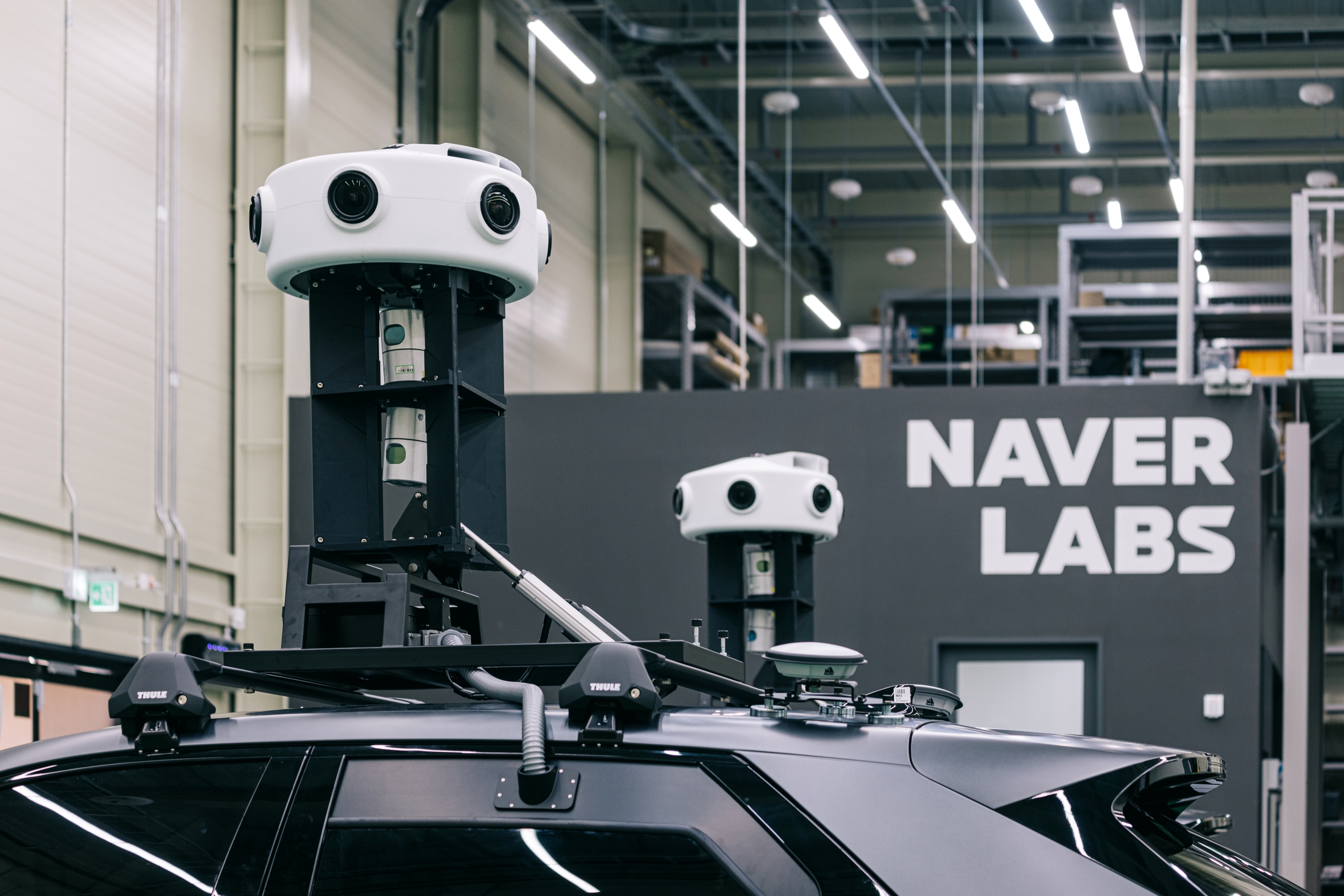
P1 achieves a higher accuracy of data compared to existing methods through the integration of multiple sensors (camera, LiDAR, and GPS). Each sensor continuously collects data in different formats and intervals, which requires time synchronization and data processing preceding the data fusion. At this point, NAVER LABS taps its own expertise in the field of autonomous vehicle design and HD mapping.
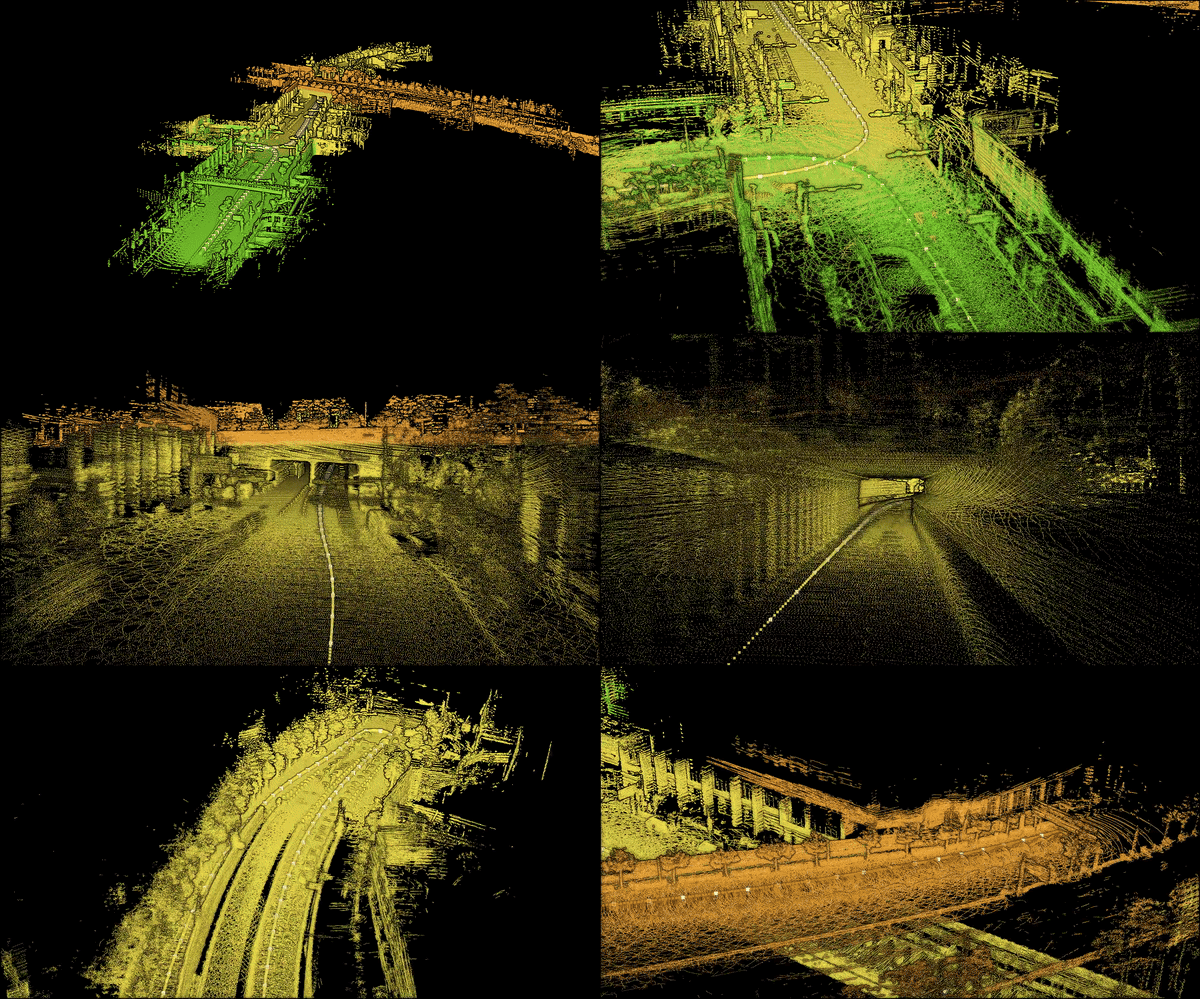
▲ Point clouds acquired with P1
Application Areas and Plans
P1 is already on the roads all over the country. While the service has been piloted in several regions on NAVER Map Street View Service based on P1 data, we expect to further expand the service areas after stabilization.
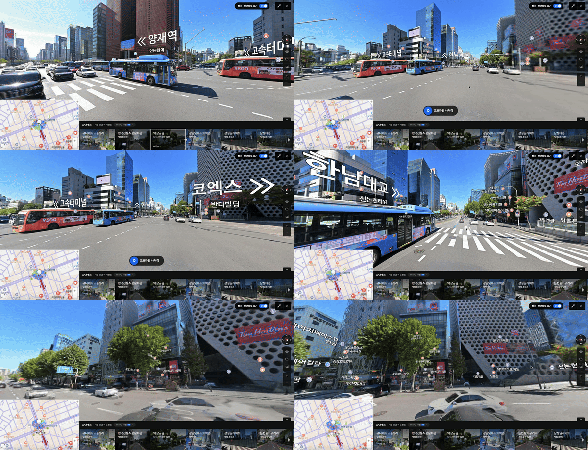
Go to NAVER Map Street View Service (PC version only)
Along with its natural 3D effects, regional information such as directions and business names will be provided in 3D. This will enhance the user experience to be more intuitive with more accurate information. Furthermore, the system guarantees precise and high-quality mapping data, which can be applied to cutting-edge technologies to create new services and content.